Log in
All resources
Create a design
1,812 Free Images of Maps With Cartouches
bibliothèque nationale de france
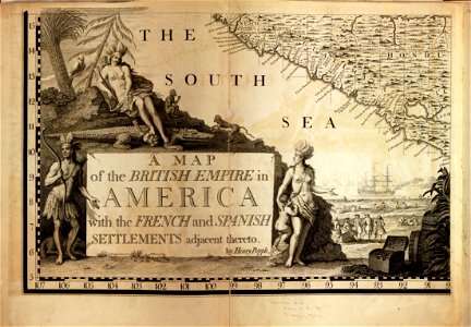
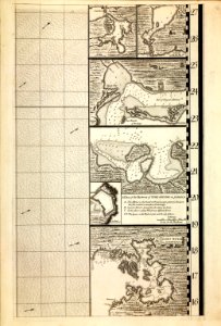
a map of the british empire in america with the french and spanish settlements adjacent thereto
maps in the library of congress
cartouches by tomas lópez
maps by willem and johannes blaeu
guillaume sanson
maps by jodocus hondius
1660s maps of france
maps in the rijksmuseum amsterdam
prints of cartouches in the rijksmuseum amsterdam
bibliothèque nationale de france
cartouches by tomas lópez
bibliothèque nationale de france
cartouches by tomas lópez
sanson maps of north america
island of california
a map of the british empire in america with the french and spanish settlements adjacent thereto
1730s maps of the caribbean
a map of the british empire in america with the french and spanish settlements adjacent thereto
1730s maps of the caribbean
a map of the british empire in america with the french and spanish settlements adjacent thereto
1730s maps of central america
maps by johann baptist homann
sanson maps of the holy land
1660s maps of france
bresse
map of italy by guillaume delisle (1700)
bibliothèque nationale de france
bibliothèque nationale de france
cartouches by tomas lópez
18th-century maps of gibraltar
maps by tomas lopez
maps of italy by sanson and cordier
bibliothèque nationale de france
1670s maps of greece
guillaume sanson
le royaume de france distingué by guillaume sanson
1724 maps of france
pieter verbiest (ii)
maps from gallica
mappe-monde geo-hydrographique (sanson and jaillot, 1674)
bibliothèque nationale de france
map of the circle of lower saxony by sanson
bibliothèque nationale de france
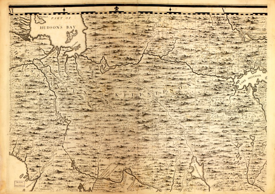
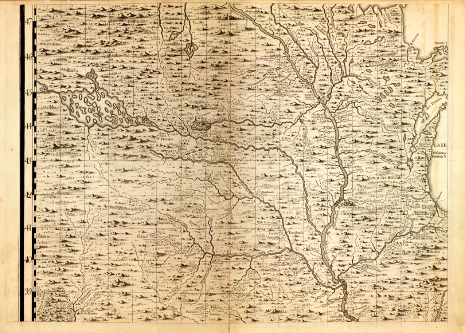
a map of the british empire in america with the french and spanish settlements adjacent thereto
maps in the library of congress
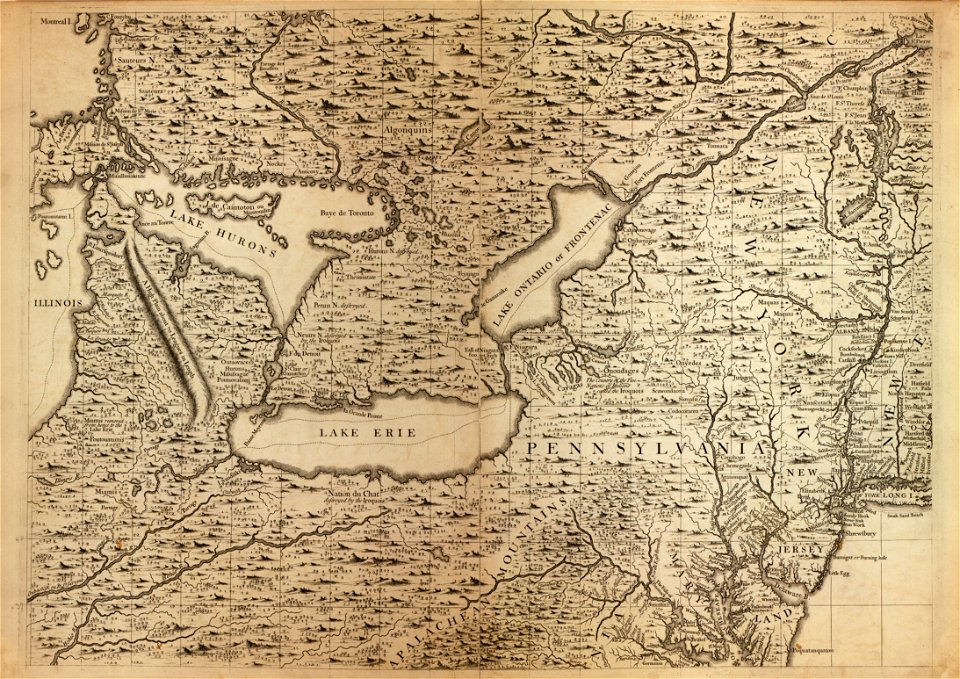
a map of the british empire in america with the french and spanish settlements adjacent thereto
maps in the library of congress
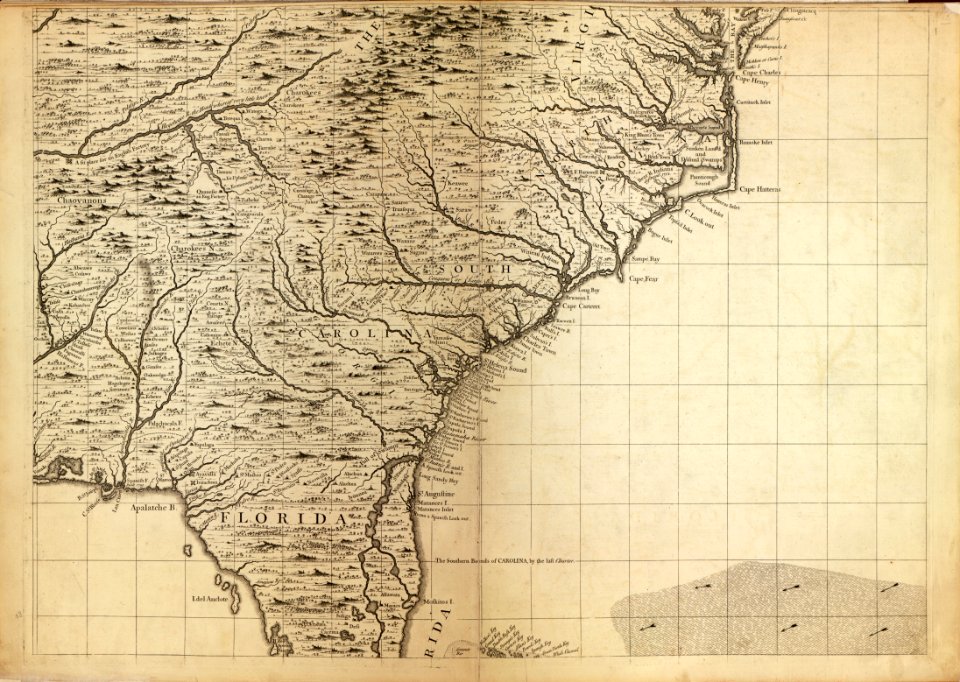
a map of the british empire in america with the french and spanish settlements adjacent thereto
maps in the library of congress
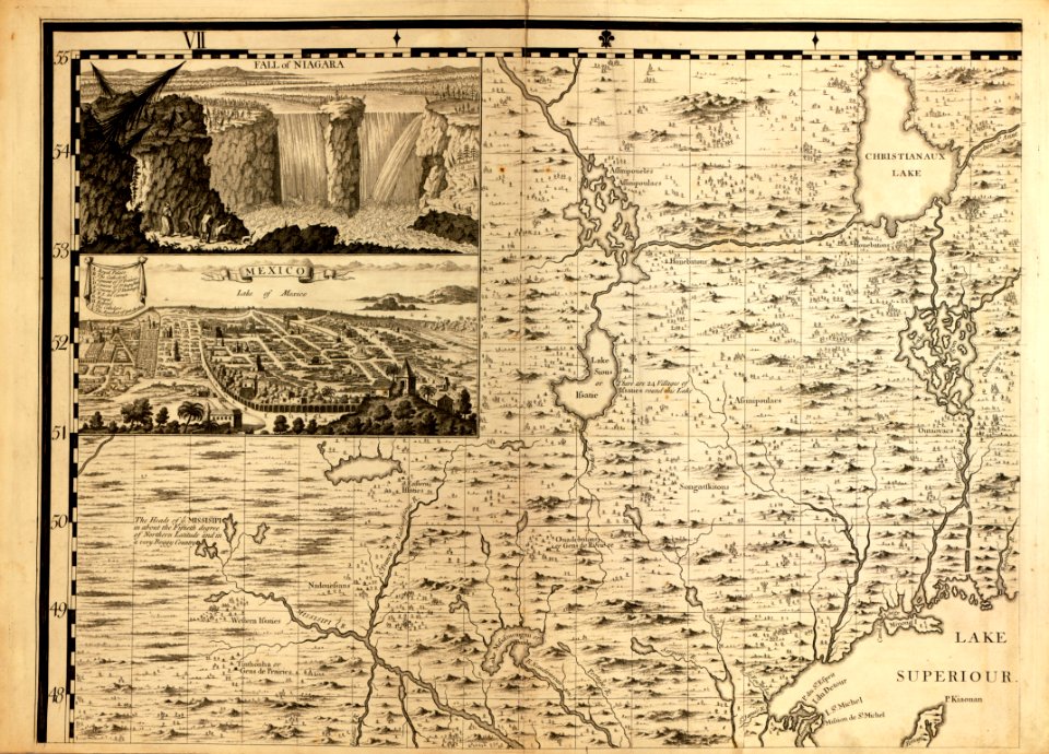
a map of the british empire in america with the french and spanish settlements adjacent thereto
maps in the library of congress
a map of the british empire in america with the french and spanish settlements adjacent thereto
maps in the library of congress
a map of the british empire in america with the french and spanish settlements adjacent thereto
maps in the library of congress
a map of the british empire in america with the french and spanish settlements adjacent thereto
maps in the library of congress
a map of the british empire in america with the french and spanish settlements adjacent thereto
maps in the library of congress
a map of the british empire in america with the french and spanish settlements adjacent thereto
maps in the library of congress
a map of the british empire in america with the french and spanish settlements adjacent thereto
maps in the library of congress
a map of the british empire in america with the french and spanish settlements adjacent thereto
maps in the library of congress
a map of the british empire in america with the french and spanish settlements adjacent thereto
maps in the library of congress
a map of the british empire in america with the french and spanish settlements adjacent thereto
maps in the library of congress
a map of the british empire in america with the french and spanish settlements adjacent thereto
maps in the library of congress
a map of the british empire in america with the french and spanish settlements adjacent thereto
maps in the library of congress
a map of the british empire in america with the french and spanish settlements adjacent thereto
maps in the library of congress
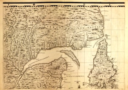
1750s maps of north america
solomon bolton
prints of cartouches in the rijksmuseum amsterdam
maps in the rijksmuseum amsterdam
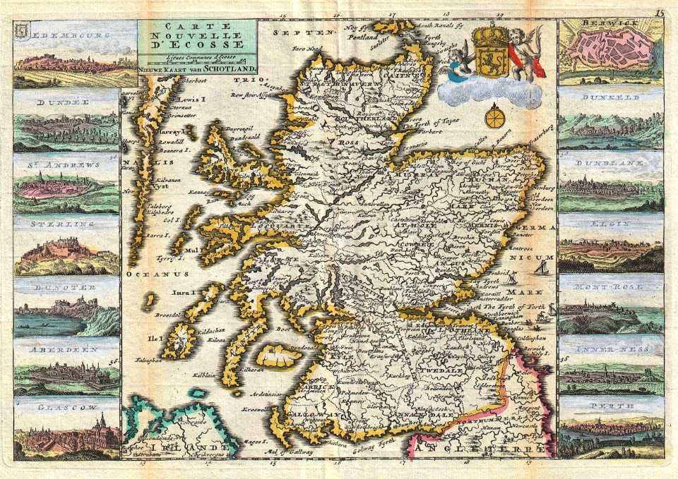
old maps of scotland
1747 maps
maps by nicolaes visscher i
old maps of canaan
maps by willem and johannes blaeu
1640s maps of belgium
17th-century maps of nord (department)
maps of artois
maps of country estates in the netherlands
het zegepralent kennemerlant
bibliothèque nationale de france
cartouches by tomas lópez
maps of the malay archipelago by mercator-hondius
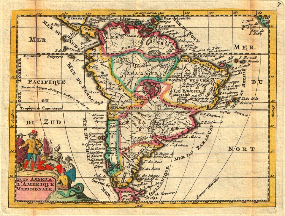
1747 maps of south america
daniel de la feuille
old county maps of hertfordshire
maps by thomas kitchin
magni ducatus lithuaniae
maps facing west
old maps of atlantis
island of california
prints of cartouches in the rijksmuseum amsterdam
maps in the rijksmuseum amsterdam
map of the upper rhenian circle by sanson
1680s maps of north rhine-westphalia
1660s maps of france
maps of lyonnais
atlas van der hagen (volume 2)
atlas van der hagen
old maps of vardø
guillaume sanson
old maps of vardø
guillaume sanson
maps of ancona by braun & hogenberg
bibliothèque nationale de france
old maps of middelburg, zeeland
maps by nicolaes visscher i
maps of enkhuizen by braun & hogenberg
bibliothèque nationale de france
maps by willem and johannes blaeu
17th-century maps of bourgogne
maps of bruges by braun & hogenberg
bibliothèque nationale de france
maps of ancona by braun & hogenberg
bibliothèque nationale de france
maps of dordrecht by braun & hogenberg
bibliothèque nationale de france
maps of haderslev by braun & hogenberg
maps of husum by braun & hogenberg
maps by willem and johannes blaeu
17th-century maps of dombes
maps of châteaudun by braun & hogenberg
maps of chartres by braun & hogenberg
maps of ghent by braun & hogenberg
bibliothèque nationale de france
maps of werden by braun & hogenberg
maps of essen by braun & hogenberg
17th-century maps of moscow
baroque
carte des pays-bas catholiques by guillaume sanson
cartouches by sanson family
maps by jodocus hondius
maps by john speed
maps by jodocus hondius
maps by john speed
17th-century maps of pembrokeshire
old county maps of pembrokeshire
maps of paris from the stanford libraries
1784 maps of france
maps by jakob van der schley
maps of the spratly islands
maps of paris by braun & hogenberg
bibliothèque nationale de france
prints of cartouches in the rijksmuseum amsterdam
maps in the rijksmuseum amsterdam
bibliothèque nationale de france
cartouches by tomas lópez
bibliothèque nationale de france
cartouches by tomas lópez
maps by willem and johannes blaeu
17th-century maps of moscow
maps of lisbon by braun & hogenberg (1572)
maps of cascais by braun & hogenberg
grenzkarte der preussischen, russischen und oestreichischen monarchien (1796)
maps of mahilioŭ governorate
grenzkarte der preussischen, russischen und oestreichischen monarchien (1796)
maps of polotsk governorate
grenzkarte der preussischen, russischen und oestreichischen monarchien (1796)
maps of polotsk governorate
18th-century double hemisphere world maps
1730s maps of the world
18th-century double hemisphere world maps
1730s maps of the world
maps by willem and johannes blaeu
1635 maps
maps by willem and johannes blaeu
1635 maps of ukraine
1610s maps of the iberian peninsula
maps by jodocus hondius
bibliothèque nationale de france
cartouches by tomas lópez
bibliothèque nationale de france
cartouches by tomas lópez
bibliothèque nationale de france
cartouches by tomas lópez
bibliothèque nationale de france
cartouches by tomas lópez
bibliothèque nationale de france
cartouches by tomas lópez
bibliothèque nationale de france
cartouches by tomas lópez
1630s maps of ethiopia
1635 maps of africa
17th-century maps of poitou
1660s maps of france
old maps of lycoming county, pennsylvania
maps in the library of congress
maps of hunsrück
jean hardy
magni ducatus lithuaniae
maps facing west
carte du mexique et de la floride by guillaume delisle (1703)
french-language maps of mexico
1700s maps of rhineland-palatinate
maps of vangiones by sanson
1660s maps of rhineland-palatinate
maps of vangiones by sanson
le royaume de france distingué by guillaume sanson
1724 maps of france
601 - 700 of 1,812
Next page
/ 19